


Our Services
South West Natural Solutions provides a complete end-to-end service, supporting projects from initial concept and design through to implementation, monitoring and maintenance.
We provide conservation, habitat restoration and land management services across South West England, including wetlands, river restoration, biodiversity and regenerative farming.
Our services span conservation, agriculture and environmental planning, providing a joined-up approach to land and water management.
From advice and site surveys to feasibility assessments, project design, and practical delivery, we help bring your conservation and restoration projects to life. The services we provide include:
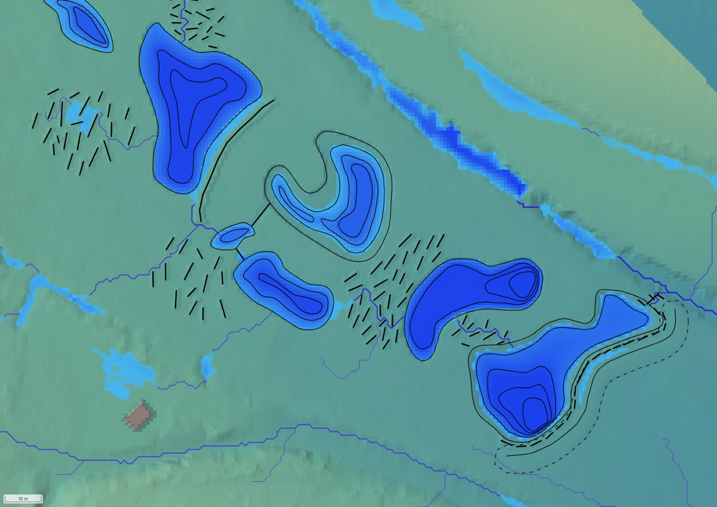
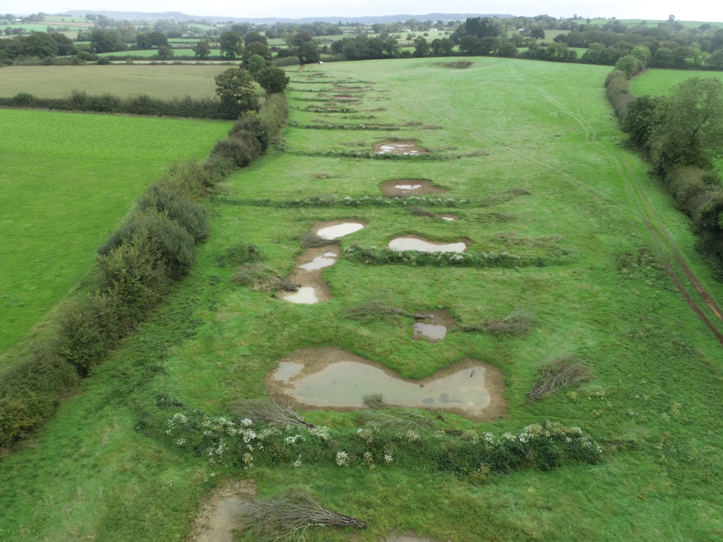
Natural Flood Management, Wetland Creation and River Restoration – we draw upon nature based solutions to design and deliver interventions that enhance biodiversity, improve water quality and strengthen landscape resilience.
Habitat Creation, Enhancement and Management – developing plans to restore and improve biodiversity across farmland, woodland, heathland and river catchments.
Habitat Restoration Plans - tailored to site-specific goals and opportunities.
Meadow Restoration - restoring species-rich grassland using techniques such as green hay.
Conservation and Restoration

Design and Create
With experts across multiple disciplines, we design bespoke solutions tailored to your individual needs. From initial concept and design through to practical implementation, we provide a seamless, end-to-end service, delivering complete and sustainable solutions that bring your vision to life. Our work enhances biodiversity, strengthens landscape resilience, and supports long-term ecosystem health, all delivered in line with recognised industry best practice and relevant environmental and regulatory frameworks.
We help farmers and land managers balance productivity with environmental sustainability through expert advice. Our services include:
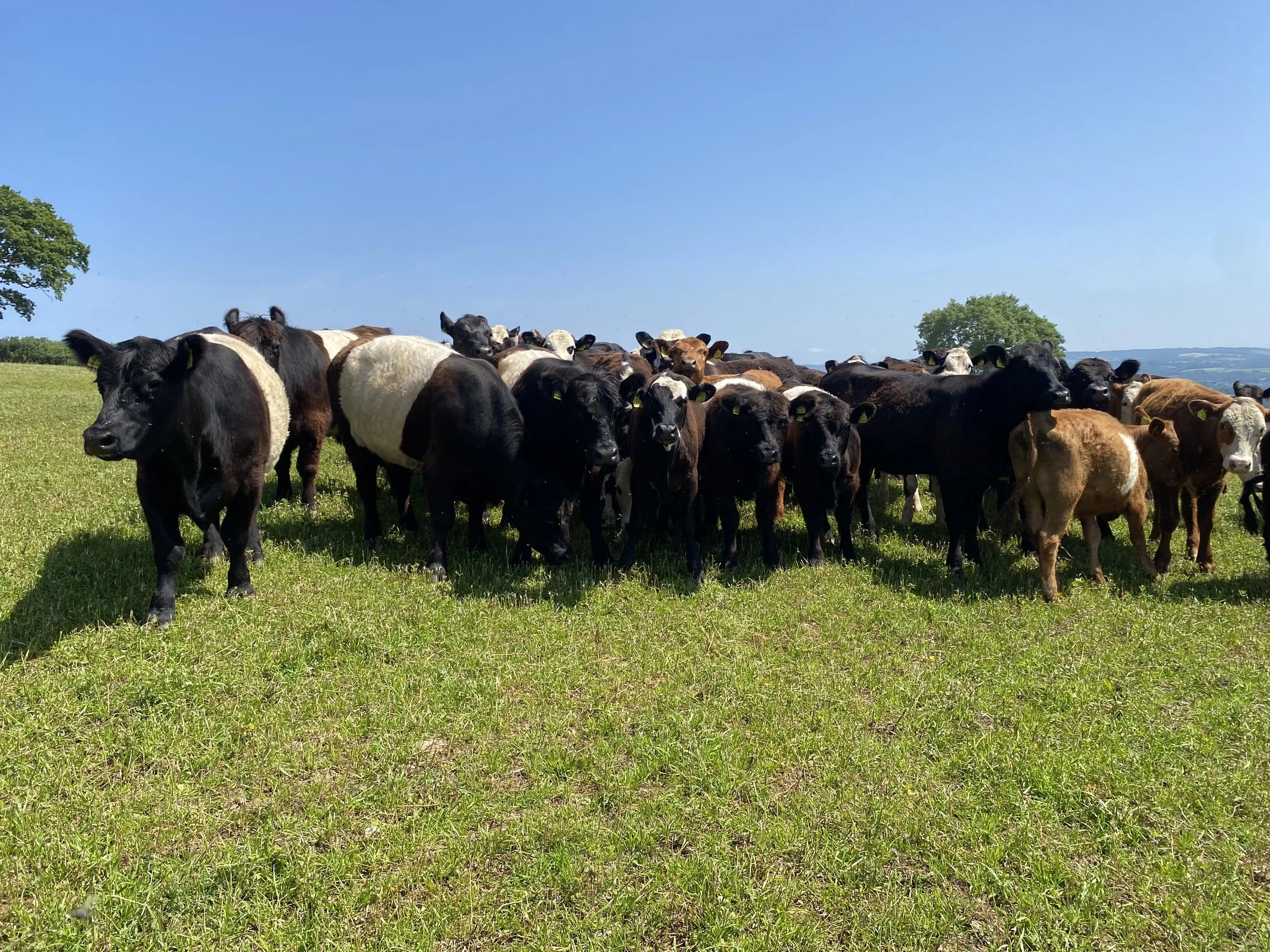
Regenerative Farming - providing advice and planning across a range of practices, including rotational grazing, agroforestry, cover crops, and herbal leys, to help support resilient farm systems.
Agri-environment Schemes and Grants – guidance and support for scheme and grant applications, management, and compliance.
Agriculture
Surveys and Planning
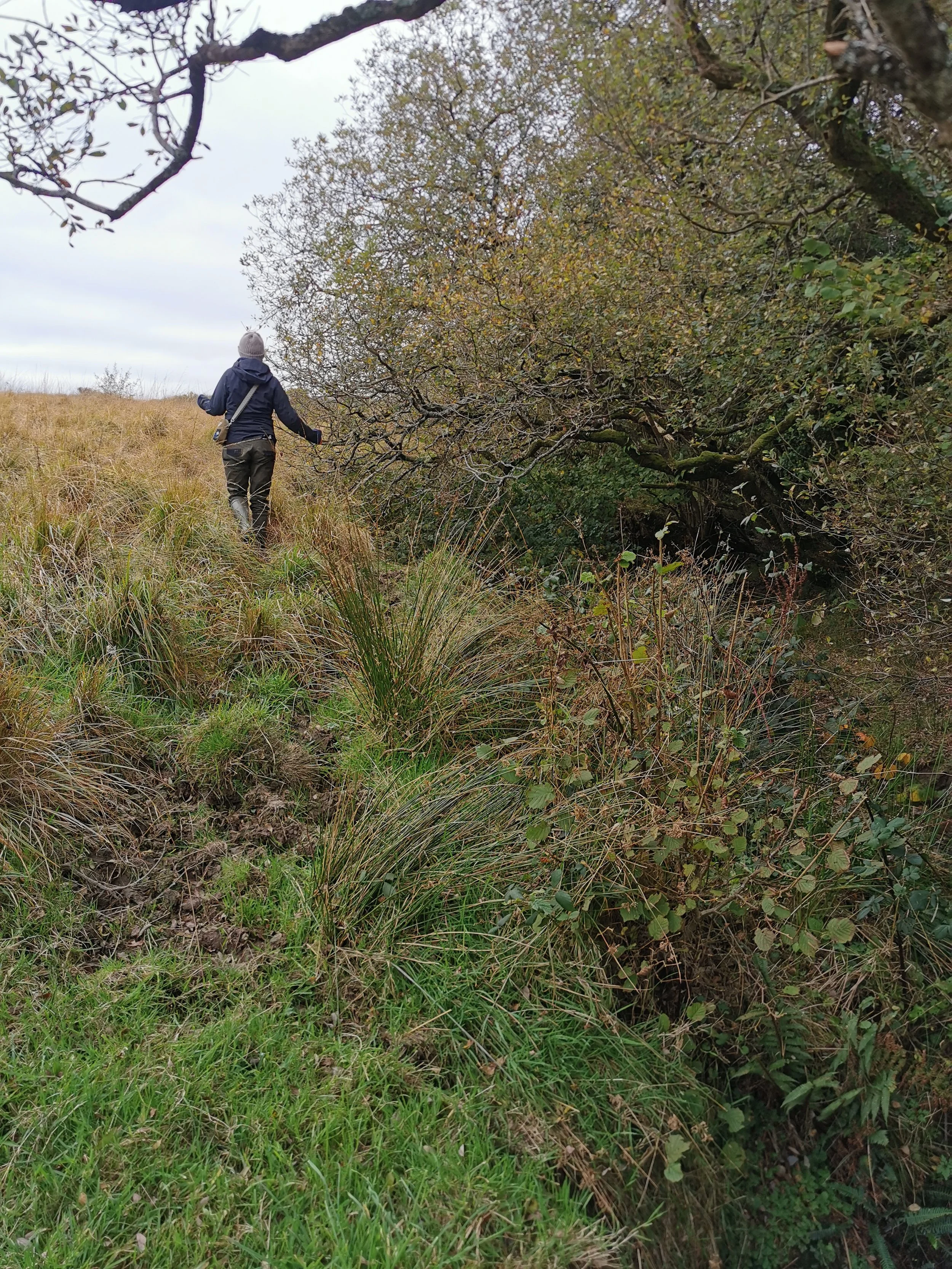
Our surveys and planning services provide the foundation for effective, practical environmental projects, combining detailed site understanding with clear, practical insight.
Our services provide the insight needed to plan and deliver projects that work for both people and wildlife.
We also support clients through the regulatory and consent process, helping to secure the approvals needed to deliver projects in practice, including planning consent, land drainage consent, Environment Agency Flood Risk Activity Permits (FRAPs), SSSI consents and MMO licences where required.
Site Investigation - Detailed assessments of current site topography, flowpaths, hydrological regimes and potential enhancement. Topographical surveys, in-channel habitat and terrestrial habitat assessment.
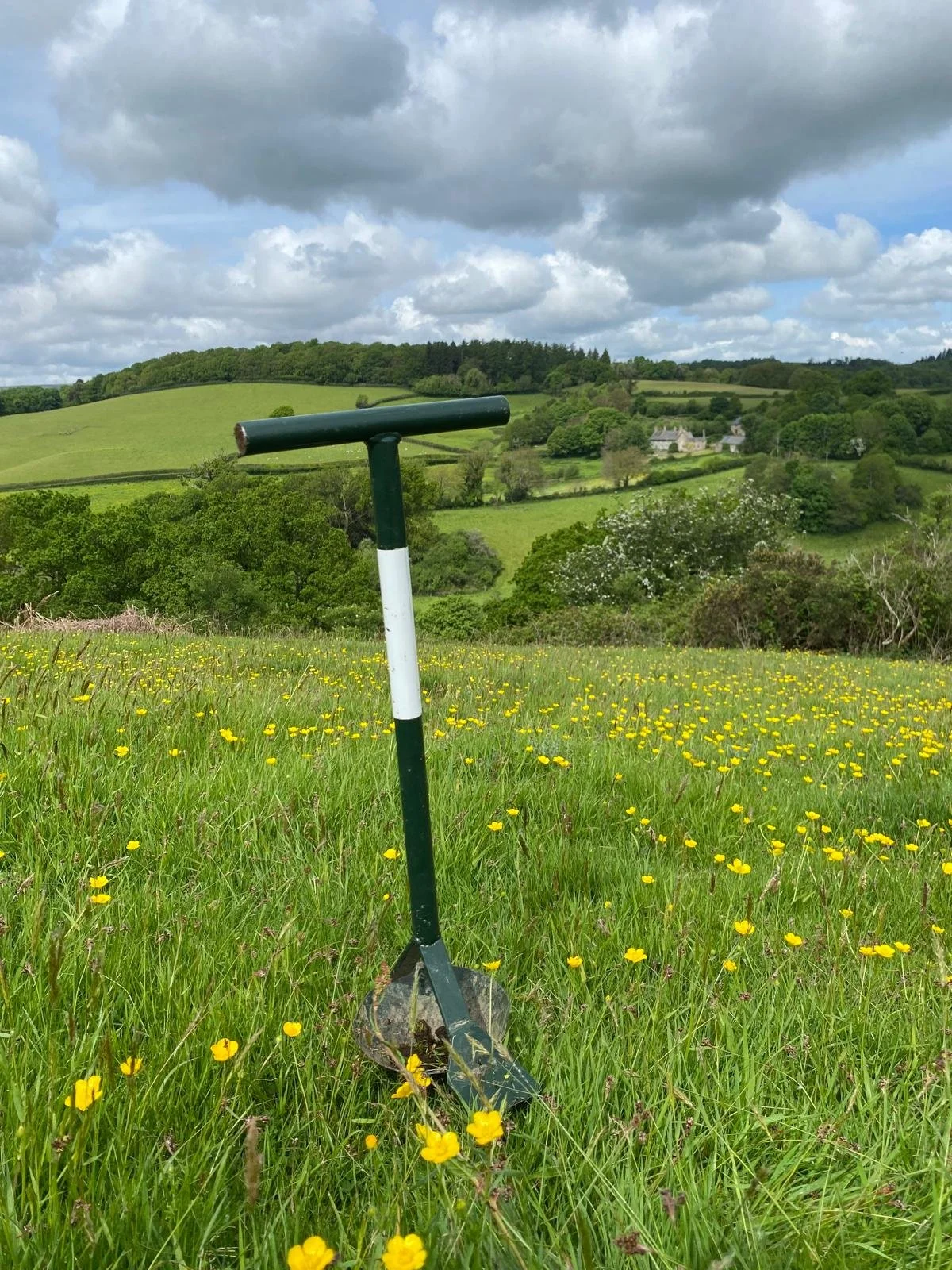
Soil Sampling - sample collection, laboratory analysis and interpretation, with practical advice.
VESS Assessment - assessing soil structure, identifying signs of compaction, and providing guidance for improvement.
Soil Runoff Risk Assessment - identifying areas vulnerable to runoff and erosion, with practical strategies to mitigate losses and protect water quality.
River Fly Assessments - enhancing understanding of river health by studying the presence and abundance of freshwater invertebrates.
RiverMORPH Surveys – establishing baselines and quantifying uplift to support designed interventions and Biodiversity Net Gain (BNG) outcomes.
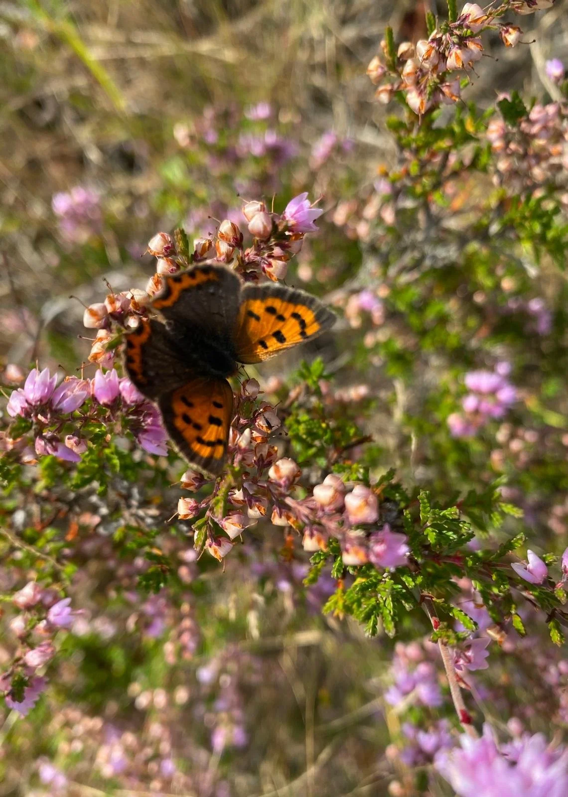
Botanical, Insect and Butterfly Surveys - building a better understanding of species abundance and habitat quality.
Drone Mapping and Terrain Modelling – using high-resolution imagery to inform project design and track progress.
Surface Water Flowpath and Accumulation Modelling – identifying runoff pathways to guide effective land management and natural flood solutions.
Planning Advice and Applications – preparing and supporting planning submissions to help move projects from design into delivery.
See how these services are applied in Our Projects.